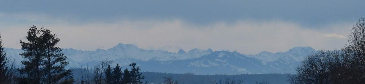
The meteorological winter that ended yesterday (December to February) was around 2.7 degrees too mild compared to the long-term average from 1991 to 2020. This makes the winter of 2023/2024, together with the winter of 2019/2020, the mildest since measurements began in 1864. With the exception of February, there was too much precipitation, with December in particular being significantly too wet. Finally, the sun shone less frequently than normal in every winter month, with February in particular being far too cloudy.

The following is an overview of the weather during yesterday's meteorological winter (December to February) in terms of temperature, precipitation and sunshine duration. For details of the individual months, please refer to the monthly balance sheets for December, January and February.
Record mild with a temperature surplus of around 2.7 degrees
The meteorological winter of 2023/2024 was around 2.7 degrees too mild across Switzerland compared to the climate norm from 1991 to 2020 and, together with the winter of 2019/2020, was the mildest winter since measurements began in 1864 (see Fig. 1). The range extends from 2.1 degrees on the Jungfraujoch to 3.7 degrees in La Brévine. Among the individual months, the temperature surplus was greatest in February at around 4.7 degrees, making it by far the mildest February since measurements began. But December and January were also too mild, December 2 degrees (fifth mildest December since 1864) and January 1.4 degrees (at some measuring stations one of the mildest Januarys since records began).

Fig. 1: Temperature deviation winter 2023/2024 compared to the long-term average 1991-2020; Source: MeteoNews, UBIMET
Quite widely too wet, sometimes significantly
In terms of precipitation, last winter ended with a surplus in many places, amounting to around 37% across Switzerland as a whole (see Fig. 2). Locally, there was even more than twice as much precipitation as normal, especially in parts of southern Grisons. December and January were too wet, with an excess of around 82% in December (locally the wettest December since records began) and 17% in January (too wet in the north). By contrast, February was 2% too dry (too wet in the south, too dry in many places in the north).

Fig. 2: Precipitation deviation winter 2023/2024 compared to the long-term average 1991-2020; Source: MeteoNews, UBIMET
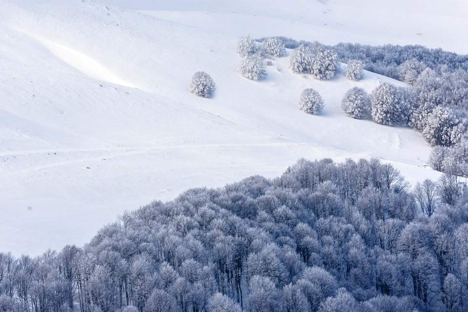
Snowy at high altitudes
After a snowy start, even for the swiss plateau, at the beginning of December, the snow line repeatedly retreated to higher altitudes above 1500 m over the course of the winter, with the exception of the first half of January. Due to the wet conditions, there is currently often an average to above-average amount of snow above around 2000 m, while the amount of snow is significantly below average, especially below around 1500 m (see Figs. 3 and 4).
")
Fig. 3: Current snow depth compared with the long-term average (yellow and red tones below average, blue tones above average); Source: WSL-Institut für Schnee-und Lawinenforschung SLF
")
Fig. 4: There is currently a lack of snow at altitudes below around 1500 meters (Wildhaus Oberdorf 1230 m); Source: roundshot
Too little sun
Last winter, the sun shone around 10% less frequently than normal across the whole of Switzerland (see Fig. 5). There was significantly too little sunshine in the Alps and the Jura in particular, while the Central Plateau and Lake Geneva were a little too sunny in places. All three winter months were too cloudy, although the deficit was only 3 to 4% in December and January and around 18% in February. February was therefore mainly responsible for the winter deficit in sunshine.

Fig. 5: Deviation in sunshine duration in winter 2023/2024 compared to the long-term average 1991-2020; Source: MeteoNews, UBIMET
disclaimer
The content of this article has been at least partially computer translated from another language. Therefore, grammatical errors or inaccuracies are possible. Please note that the original language version of the article should be considered authoritative.