The first half of April was exceptionally warm, with an excess of almost 5 degrees over the whole of Switzerland! There were also an unusually high number of summer days and even all-time April temperature records in some places. However, this was followed by a sharp drop in temperature in the middle of the month and an unusually long period of cold weather with snow down to low altitudes and even frost in some places. From one extreme to the other! Nevertheless, April 2024 will be too mild overall.

From early summer to winter...
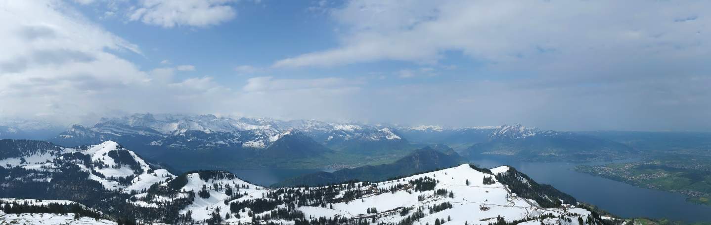
April 2024 has been a month of extremes in terms of temperatures so far! During the first half of the month, exceptionally mild air masses reached Central Europe and the Alpine region in two waves. As a result, there were a number of summer days and new April records (see below in the mid-month review). It was very mild in the mountains, with the zero degree line rising to 4000 meters in some places. In the foehn valleys, strong southerly foehn winds blew in some places, making for balmy nights. The south to south-westerly flow also brought a lot of Saharan dust to us. In Switzerland, it was the warmest first half of April since records began, with a nationwide temperature surplus of 4.8 degrees!

Fig. 1: Course of temperature maxima and minima at the Zurich Airport station; Source: MeteoNews
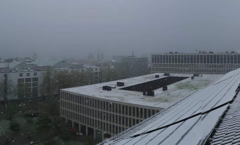
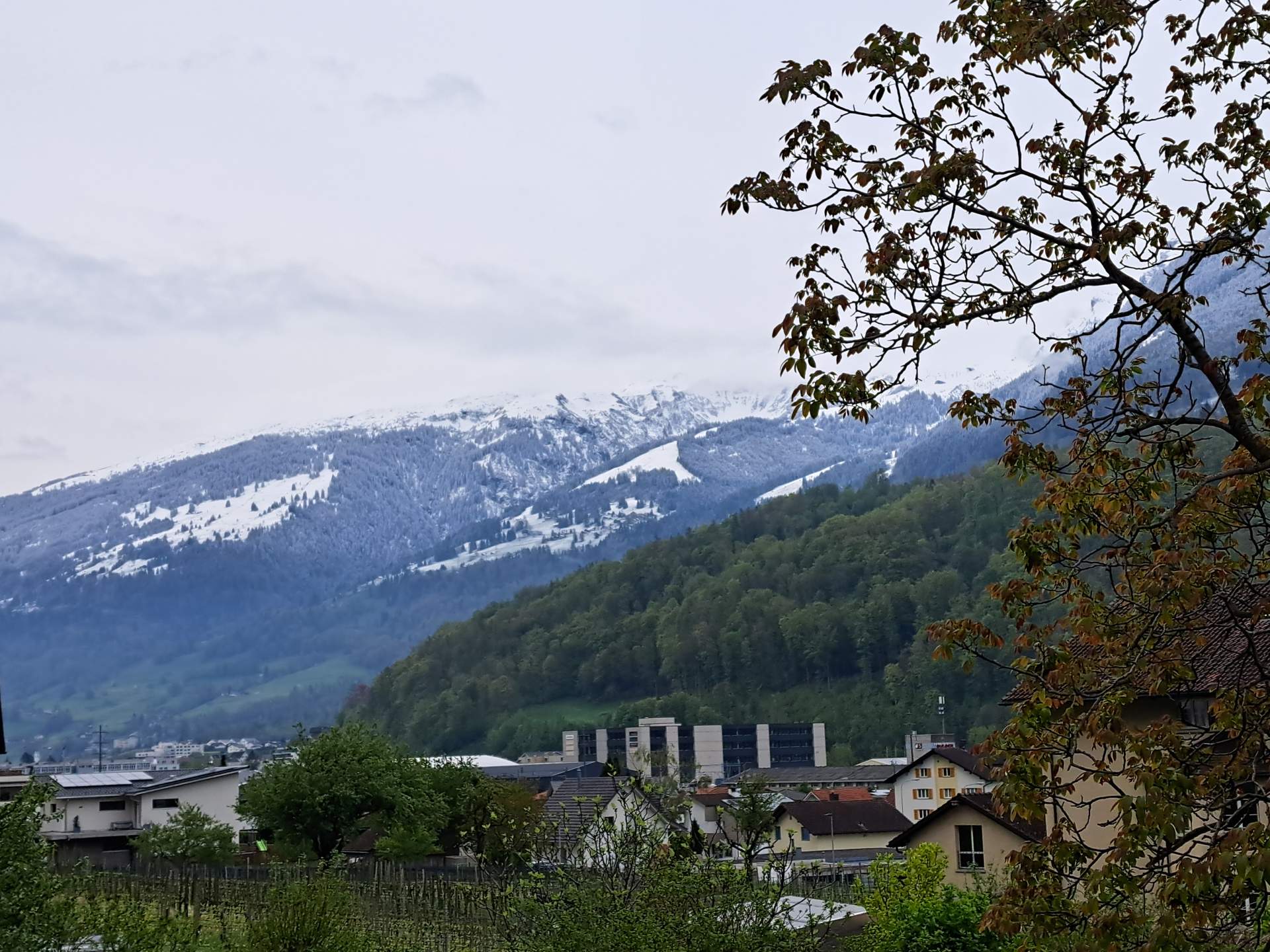
But then the flow pattern began to change. It started on Sechseläuten Monday, when the strong westerly wind prevented the burning of the Böögg for the first time. Polar cold air then reached us from the northwest to the north, and within a short space of time we slipped from early summer into a kind of late winter – and with lasting effect! Due to a blocking high over the Atlantic, the cold air remained virtually trapped over Central Europe. The snowfall line varied between low altitudes and around 1000 meters, and there were also thundery sleet showers. Even in the lowlands, it turned white again for a few hours in some areas. At medium altitudes, there was more snow in some regions than during the actual winter months (read more about snow in April here). Frost was a big issue! On many nights, clouds and wind prevented even greater cooling, but there was still often ground frost and sometimes air frost. Although there were no record cold temperatures, the temperatures were still well below average. However, the positive deviation in the first half of the month was greater than the negative deviation afterwards.

Fig. 2: Largest positive temperature deviation for a single day on April 8; Source: MeteoNews, Ubimet

Fig. 3: Largest negative temperature deviation for a single day on April 22; Source: MeteoNews, Ubimet
The duration of this cold phase was particularly unusual! As a result, the enormous temperature surplus of the first half of the month was steadily reduced, and including yesterday, Thursday, it has now practically been balanced out again. Across Switzerland as a whole, we are currently only 0.3 degrees above the long-term average.

Fig. 4: Previous temperature deviation in April compared to the long-term average 1991-2020; Source: MeteoNews, Ubimet
...and back again
Today's Friday morning marks the end of this cool period and the general weather situation is changing again. The current will turn to the southwest, bringing much milder air back into the Alpine region – The temperature level will rise significantly at all altitudes! Temperatures will return to the 20 degree mark from tomorrow, and on Tuesday it will even be warm again in early summer with 23 to 25 degrees in the east. As a result, the temperature surplus will gradually increase again by the end of the month, so April 2024 will be too mild despite the interim late winter.
Too wet, especially in the east
After the first half of the month, it was too wet in the east and south and too dry in most of the lowlands. The picture has now changed somewhat due to the repeated precipitation recently, and the deficit has now been made up in the central and eastern lowlands. It is now still too dry primarily in the western lowlands and regionally in Valais. Due to the often north-westerly to northerly flow and several phases of northerly foehn, the southern side of the Alps was now somewhat favored, and as of yesterday, the precipitation amounts are now also below average.

Fig. 5: Previous precipitation deviation in April compared to the long-term average 1991-2020; Source: MeteoNews, Ubimet
However, there will also be a certain shift in this respect by the end of the month. The south-westerly to southerly flow will not only bring us mild air and Saharan dust, but also moisture from the Mediterranean region. This will accumulate in the south at times, with frequent rain at the weekend. As a result, the deficit can still even out here too. In the east, on the other hand, which has been too wet to date, nothing more will be added until the end of the month.
Less sun than usual
In the middle of the month, the amount of sunshine was still within the normal range, but there is now a clear deficit in the north. Although this will reduce somewhat in the coming days, it will probably not be compensated for. Until the end of the month, it will often be friendly, especially in central and eastern Switzerland, but never really cloudless. There will also be new Saharan dust from Sunday. There will generally be more clouds in the west and south.

Fig. 6: Previous deviation in sunshine duration in April compared to the long-term average; Source: MeteoNews, Ubimet
The definitive figures will follow here at the beginning of May.
April half-time balance: Almost 5 degrees too warm!
After a record-breaking mild February and a March that was clearly too mild, the first half of April also brought temperatures that were well above average. Across Switzerland, the excess was almost 5 degrees (see Fig. 1).

Fig. 1: Previous temperature deviation in April compared to the long-term average 1991-2020; Source: MeteoNews, UBIMET
The difference is greater in the north than in the south and higher in the mountains than in the lowlands and Alpine valleys. At 6 degrees, the temperature difference to the long-term average is greatest on the Weissfluhjoch. Here, the average temperature so far in April is 1.2 degrees, more than 1 degree above the May average of 0.1 degrees. In general, April in the north has been about the same temperature as the average May.
Note: From today onwards, it will be much cooler with temperatures well below average in the north for a long time (even frost will be an issue in the lowlands and in the Alpine valleys), so that the surplus will continue to decrease in the near future, but April is still likely to be a little too mild.
Maximum temperatures even further above average
The maximum temperatures were more responsible for the temperature surplus than the minimum temperatures. The difference between the maximum temperatures and the long-term average for Switzerland as a whole was 5.7 degrees, with a peak of 6.9 degrees in St. Gallen, and 4.0 degrees for the minimum temperatures (see Figs. 2 and 3).

Fig. 2: Previous deviation of maximum temperatures in April compared to the long-term average 1991-2020; Source: MeteoNews, UBIMET

Fig. 3: Previous deviation of minimum temperatures in April compared to the long-term average 1991-2020; Source: MeteoNews, UBIMET
Some summer days with 25 degrees and more in the lowlands
April was characterized by extreme warm spells for April between 5 and 8 April and last weekend. In some cases, the summer mark of 25 degrees was exceeded, which does not usually happen very often in April. There were up to 5 summer days in the current April (see Fig. 4). For comparison: in Chur, where 5 summer days have been recorded so far, there is on average only one summer day in April, and in Zurich-Kloten (4 summer days so far) only one in 8 out of 10 years.

Fig. 4: Number of summer days so far in April; Source: MeteoNews, UBIMET
The highest April temperatures were recorded in Basel-Binningen at 28.8 degrees and in Chur at 28.5 degrees (see Fig. 5).

Fig. 5: Highest temperatures so far in April; Source: MeteoNews, UBIMET
Local absolute April records
Locally, new all-time April records were even set, for example in Chur, Engelberg and Adelboden ( for more records, see here).
Vegetation still record early
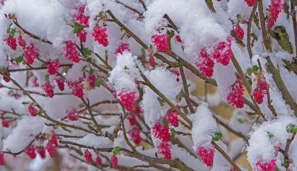
With temperatures well above average since mid-January, it's no wonder that the vegetation at low altitudes is 2 to 3 weeks earlier than usual. The lilacs are currently in bloom (see Fig. 6), while the apple trees are already fading. Normally, the lilacs and apple trees do not bloom until the end of April/beginning of May as a sign of full spring.

Fig. 6: Lilacs currently in bloom in Sarganserland; Source: Bild: Roger Perret
Large differences in precipitation
There are very large differences in precipitation in the various regions, with precipitation totals slightly below average across Switzerland (see Fig. 7). While it has been far too wet in some parts of southern and south-eastern Switzerland, there has been far too little precipitation, particularly on the Swiss Plateau, in north-western Switzerland and along the western and central Alps. Two heavy precipitation events at the beginning of the month and on April 9 were primarily responsible for the above-average amount of precipitation in southern and south-eastern Switzerland.

Fig. 7: Previous precipitation deviation in April compared to the long-term average 1991-2020; Source: MeteoNews, UBIMET
Sunshine around the norm
The amount of sun shine in the first half of April was about average across the whole of Switzerland. It was a little too sunny in the south and south-eastern Switzerland in particular, but a little too cloudy in the western Alps, in Lower Valais and on Lake Geneva.

Fig. 8: Previous deviation of sunshine duration in March compared to the long-term average; Source: MeteoNews, UBIMET
disclaimer
The content of this article has been at least partially computer translated from another language. Therefore, grammatical errors or inaccuracies are possible. Please note that the original language version of the article should be considered authoritative.