It's been a constant back and forth this week, with Thursday probably being the highlight in terms of weather. It is the sunniest day and probably the only one that is really dry. Otherwise you should at least have an umbrella at hand.

Rain and snow
Yesterday it only rained from time to time, and not over a wide area. Last night, however, new rain spread from the northwest and intensified. This morning and during the course of the morning, the snow line dropped in some valleys due to the effect of the cooling precipitation –. For example, there were temporary wet flakes in Glarnerland, Sarganserland and the Chur Rhine Valley. The rain eased in the afternoon and it is now mainly dry apart from the last remnants of showers. An intermediate high will take effect tomorrow, Thursday.

Fig. 1: Precipitation in the last 48 hours; Source: MeteoNews, Ubimet
Amount of precipitation (as of 14:00)
| Measuring stations | Precipitation (in mm) |
|---|---|
| Säntis (2502 a.s.l., AR) | 85 |
| Bauma (816 a.s.l., ZH) | 45 |
| Braunwald (1299 a.s.l., GL) | 42 |
| Langnau am Albis (535 a.s.l., ZH) | 41 |
| Linthal (674 a.s.l., GL) | 41 |
| Sihlbrugg (549 a.s.l., ZG) | 40 |
| Grimsel (1980 a.s.l., BE) | 40 |
| Elm (958 a.s.l., GL) | 36 |
| Ebnat-Kappel (620 a.s.l., SG) | 34 |
| Gersau (435 a.s.l., SZ) | 34 |
| Starkenbach SG (897 a.s.l., SG) | 32 |
| Hinwil (539 a.s.l., ZH) | 32 |
| Jona (410 a.s.l., SG) | 31 |
| St. Antönien (1456 a.s.l., GR) | 31 |
| Uster (438 a.s.l., ZH) | 30 |
| Sattel (790 a.s.l., SZ) | 30 |
| Urnäsch (825 a.s.l., AR) | 29 |
| Schönegg (570 a.s.l., ZG) | 29 |
| Rempen (650 a.s.l., SZ) | 28 |
| Pfäffikon ZH (540 a.s.l., ZH) | 28 |
Sun, clouds and a few showers
The afternoon brings a foretaste of the rest of the week, with a bit of everything. We can expect a variable mixture of clouds and sun, with the east tending to be friendlier than the west. There will also be a few local showers, mainly along the Jura and the Alps. With a light south-westerly to westerly wind, temperatures will reach 12 to 13 degrees.

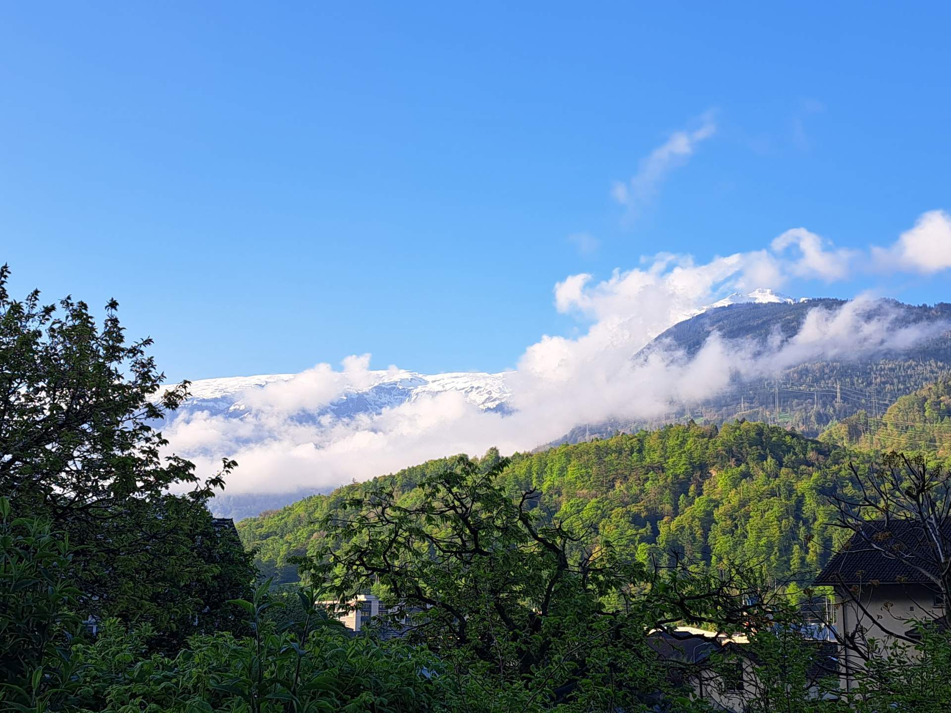
Fig. 1: View over Lake Sempach this morning; Source: Roundshot
Cloudy with rain in the north, quite sunny in the south
Tuesday will be cloudy on the northern side of the Alps, with occasional rain – mainly along the Alps. The snow line will vary between 1000 and 1100 meters. Without sunshine, temperatures will also drop, with highs between 9 and a maximum of 11 degrees. Moderate south-westerly winds will blow on the Swiss Plateau, moderate winds in the mountains and strong westerly to north-westerly winds in exposed areas.

Fig. 2: Weather tomorrow Tuesday – Cloudy and some rain in the north, quite sunny in the south with a northerly foehn; Source: MeteoNews
Under the protection of the Alps, things will look much better in the south, where the sun will be in full view. It is also much milder, with the north foehn freshening up in the valleys.
Cloudy at first, then the weather calms down
In the night to Wednesday, another wave of humid air will reach the northern side of the Alps and rain will spread. According to the latest reports, this could be temporarily heavier. Wednesday will start off cloudy and widely wet, with the snow line between 1000 and 1400 meters. The weather will calm down in the afternoon, the showers will subside and the clouds will begin to clear. It will remain dry in the south and after extensive cloud fields in the first half of the day, it will become increasingly friendly in the afternoon.
Fog patches, sunshine and high clouds
Thursday will begin with fog in some areas on the Swiss Plateau, which will clear during the day. Apart from that, we can expect a mixture of sunshine and passing high cloud fields. It will be milder again at all altitudes. On the Swiss Plateau, temperatures will reach around 15 degrees – depending on the dissipation of fog and the duration of sunshine, with the zero degree line rising to 2500 to 2700 meters.

Fig. 3: Outlook for the coming days; Source: MeteoNews
Changeable again with occasional showers
On Friday and Saturday, we can expect a changeable weather pattern with a variable mixture of clouds, some sunshine and occasional showers. It will remain relatively mild, with maximum temperatures still hovering around the 15 degree mark. On Sunday, a disturbance is currently expected to reach us and it will become increasingly wet from the west during the afternoon or evening.
disclaimer
The content of this article has been at least partially computer translated from another language. Therefore, grammatical errors or inaccuracies are possible. Please note that the original language version of the article should be considered authoritative.