Until the weekend, our weather will essentially be determined by a low pressure system located in the nearby Atlantic/Great Britain. It will bring us a lot of precipitation in the south, with southerly to south-westerly high winds at the southern slope of the Alps until Saturday, while in the north it will bring a foehn wind and only a little rain. In the night to Sunday, the foehn will break down and it will also be wet in the north. On Sunday, the precipitation will move eastwards again relatively quickly. At the beginning of the coming week, the air pressure will rise, but initially the air will still be somewhat humid, but from the middle of the week it will be drier again, especially at higher altitudes. From Sunday, especially from Tuesday, temperatures will be somewhat lower in the north, but without it becoming exceptionally cool.

Precipitation balance south of the Alps
The congestion on the southern side of the Alps has brought large amounts of precipitation of over 100 mm in places since Friday. The measuring station in Stabio is the leader with 116 mm. The precipitation event is not yet completely over, the next few hours will bring another millimeter or two, but this will not change the overall impression much. It should be largely dry by lunchtime at the latest. These amounts of rain and snow from around 1200 to 1700 meters were very welcome due to the dry last few weeks and the resulting increase in the risk of forest fires. From today's perspective, it should remain dry in southern Switzerland in the new week.
Amount of precipitation (as of 08:10)
| Measuring stations | Precipitation (in mm) |
|---|---|
| Stabio (353 a.s.l., TI) | 116 |
| Torricella - Crana (1002 a.s.l., TI) | 103 |
| Monte Generoso (1608 a.s.l., TI) | 101 |
| Robiei (1898 a.s.l., TI) | 99 |
| Coldrerio (347 a.s.l., TI) | 94 |
| Great St Bernard Pass (2472 a.s.l., VS) | 93 |
| Airolo (1139 a.s.l., TI) | 82 |
| Locarno-Magadino (203 a.s.l., TI) | 81 |
| Mosogno (771 a.s.l., TI) | 78 |
| Cevio (416 a.s.l., TI) | 71 |
| Locarno-Monti (367 a.s.l., TI) | 67 |
| Lugano (273 a.s.l., TI) | 66 |
| Biasca (307 a.s.l., TI) | 64 |
| Bellinzona (224 a.s.l., TI) | 61 |
| Bosco/Gurin (1486 a.s.l., TI) | 60 |
| San Bernardino (1639 a.s.l., GR) | 58 |
| Vicosoprano (1089 a.s.l., GR) | 51 |
| Faido (747 a.s.l., TI) | 49 |
| Cimetta (1672 a.s.l., TI) | 49 |
| Berninapass (2328 a.s.l., GR) | 48 |

Fig. 1: Precipitation totals for the last 72 hours; Source: MeteoNews/UBIMET
Today, Thurday, only a little sun but also only a little rain
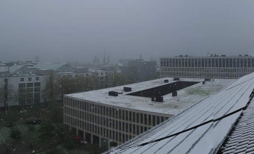
Just in time for the start of the main carnival for the various morning events today (Schmutziger Donnerstag), the rain from an overnight disturbance has moved eastwards. However, there will still be plenty of clouds and isolated showers in the morning. In the afternoon, it will be mostly dry and it may clear up a little. As in the last few days, temperatures will remain mild for the time of year, reaching around 11 to 14 degrees with a moderate south-westerly wind at times. In the south, it will be partly sunny and dry with double-digit maximums, as in the north (see Fig. 1).

Fig. 1: Weather today Thursday; Source: Meteonews, UBIMET
Friday/Saturday foehn in the north, heavy rain in the south
Tomorrow, Friday and Saturday, our country will be in the path of a low pressure trough over Western Europe in the area of a strong south to south-westerly current at high altitude. This will cause humid air to accumulate on the southern slopes of the Alps, resulting in heavy precipitation. A total of just over 100 liters of precipitation per square metre is likely to fall in southern Ticino by Sunday morning (see Fig. 2).

Fig. 2: Calculated precipitation total from Friday to Sunday morning; Source: MeteoNews, UBIMET
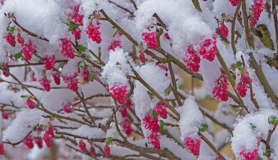
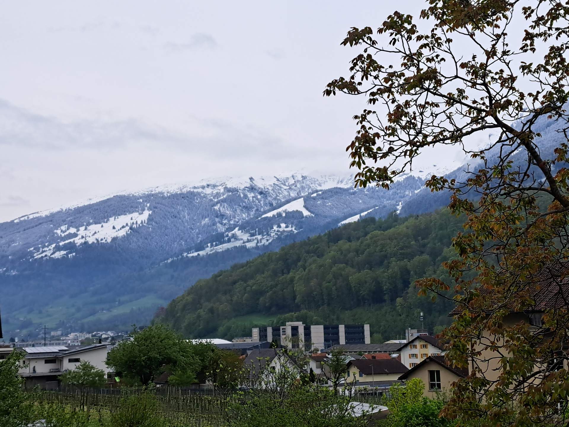
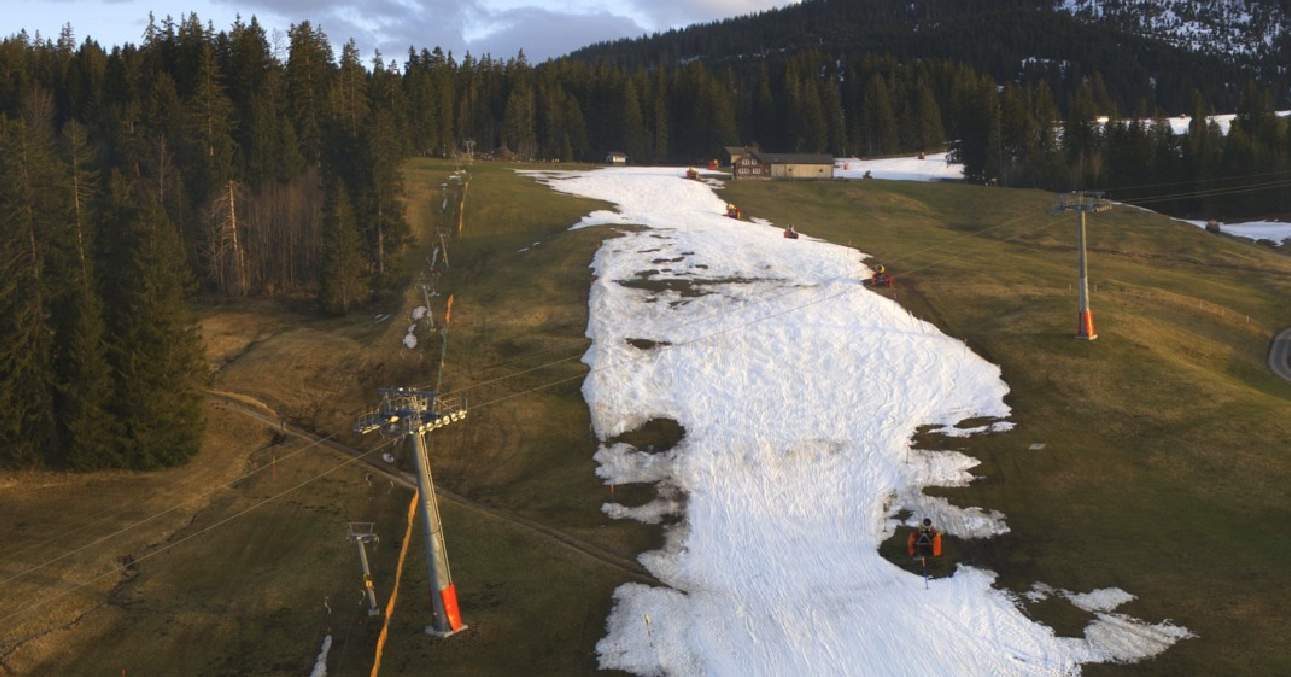
With a snow line mostly between around 1200 and 1800 meters, up to 1 meter of fresh snow is possible on the higher mountains. On the contrary, precipitation is likely to be a blessing in disguise given the current dry conditions with a high risk of forest fires in Ticino (see Fig. 3).

Fig. 3: There is currently a high risk of forest fires in Ticino; Source: Bundesamt für Umwelt BAFU
North of the Alps, on the other hand, there will be a foehn current in the lee of the Alps tomorrow Friday and Saturday, which will largely hold back precipitation, at least in the foothills of the Alps. Towards the Jura and Rhine, however, it will be wet at times, especially tomorrow Friday. There will be plenty of clouds, but there will also be some foehn-like clearing, especially on Saturday and along the Alps. The foehn in the Alpine valleys is likely to reach wind speeds of between 50 and 80 km/h, so it will not be exceptionally strong. On the higher mountains, local wind peaks of over 100 km/h are possible. Temperatures will reach around 9 to 12 degrees in the Swiss Plateau. It will be milder in the foehn valleys, where we expect around 13 to 18 degrees, with Saturday being somewhat milder than Friday. In the south, it should be around 8 degrees.
The end of the foehn on Sunday night
In the night to Sunday, the foehn will break down, so that there will also be widespread rain in the north with a disturbance, with the snow line dropping to around 1000 meters. On Sunday, the precipitation will move eastwards and changeable weather with some sunshine and occasional showers will set in from the west. It will be slightly less mild at around 8 degrees. In the south, rain will continue to fall at times on Sunday morning, then it will dry out, with a few clear spells possible by the evening. It will reach just under 10 degrees.
Changeable in the north at the start of the week
On Monday and Tuesday, it will be changeable in the north with sunny spells and rain showers with a focus on Tuesday night, with flakes falling from around 600 to 1100 meters. It will be around 9 degrees on Monday and 6 degrees on Tuesday. In the south, on the other hand, the week will start quite sunny and mild at around 13 degrees.
From the middle of the week, the weather will be largely determined by high pressure
From Wednesday onwards, a fairly cool breeze will set in in the north with quite high air pressure. While there will be plenty of sunshine in the mountains, some high fog is to be expected over the Swiss Plateau. It is not yet possible to estimate how persistent this will be. In the south, however, it will often remain sunny and mild.
Finally, an overview of the weather and temperatures from tomorrow Friday to Wednesday (see Fig. 4).

Fig. 4: Weather outlook from tomorrow Friday to Wednesday; Source: MeteoNews, UBIMET
disclaimer
The content of this article has been at least partially computer translated from another language. Therefore, grammatical errors or inaccuracies are possible. Please note that the original language version of the article should be considered authoritative.