Wetter Schweiz

Weisses Erwachen im Bündnerland

by MeteoNews AG

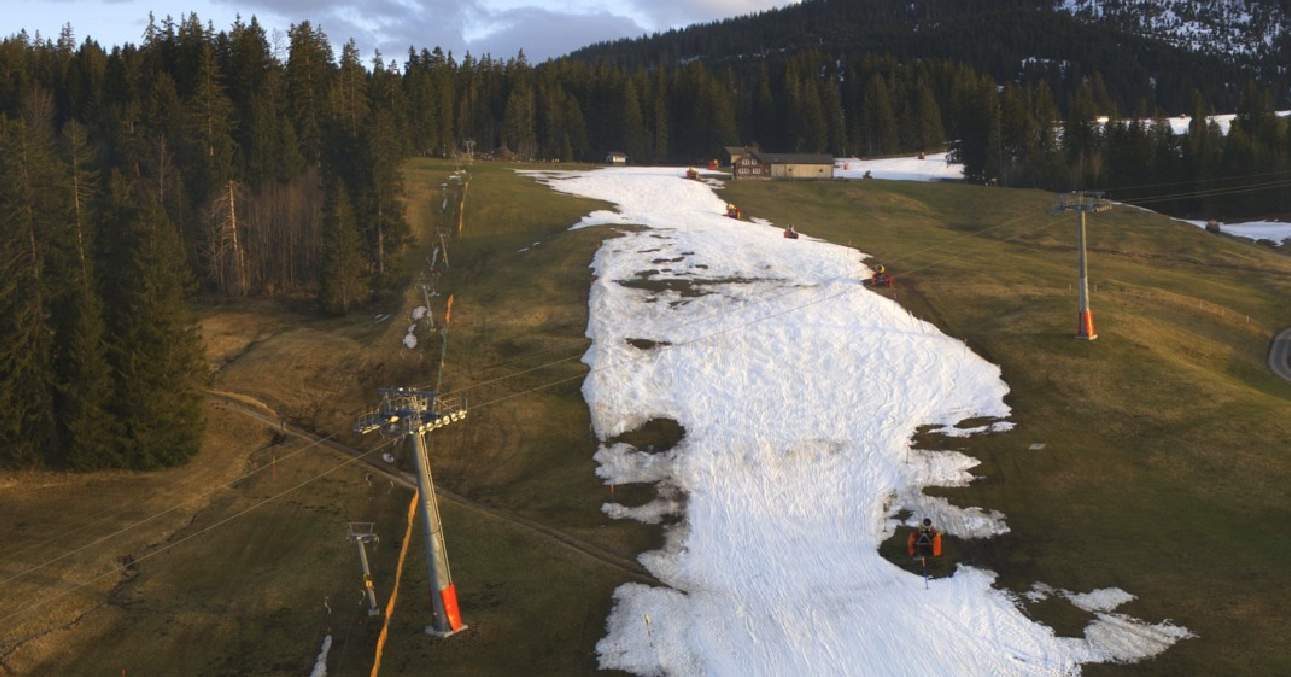
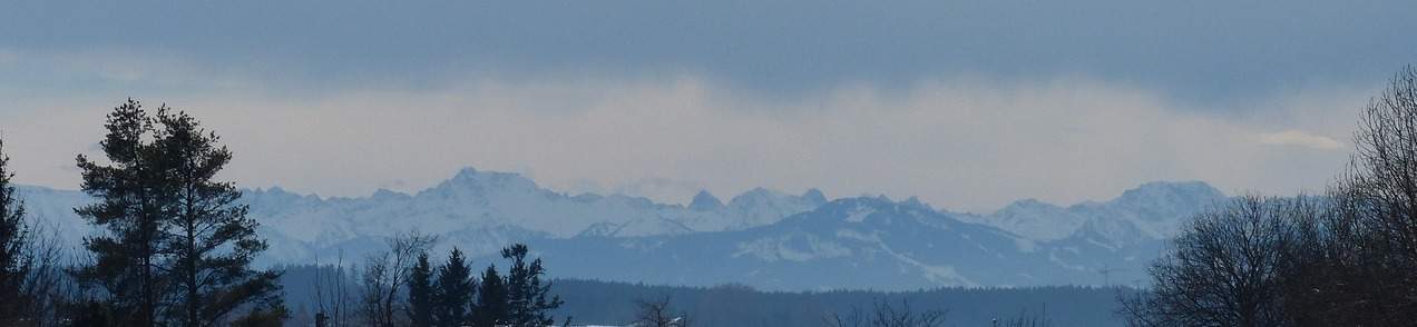
In den östlichen Alpentälern sind in der Nacht bis 40 Liter pro Quadratmeter Niederschlag gefallen. Im Bündnerland hat es dabei bis nach Arosa und Davos hinunter geschneit.

Nicola Möckli

Blog archive

in all categories

Latest articles

leadPicture

bioweather Switzerland

An ever earlier spring – good or bad?

One of the mildest winters on record is having an impact on nature: As has often been the case in recent years, nature has woken up very early, which is also reflected in the fact that hay fever symptoms have been on the rise for some time now and many spring flowers are already blooming in gardens and parks. Winters are becoming milder and milder as a result of climate change, which means that nature is waking up earlier and earlier and the growing season is being extended. This has a variety of effects, both positive and negative.

Roger Perret

leadPicture

climate Switzerland

The first half of April was almost 5 degrees too warm!

The first half of April was exceptionally warm, with an excess of almost 5 degrees over the whole of Switzerland! There were also an unusually large number of summer days and even all-time April temperature records in some places. There were big differences in terms of precipitation: in the south it was sometimes far too wet, on the Swiss Plateau on the other hand, it was usually far too dry. The duration of sunshine was roughly within the norm.

Roger Perret

leadPicture

weather Switzerland

With High Peter return of warmth – temporarily...

From Thursday to Sunday, sunny and increasingly warmer weather will set in in the area of influence of high pressure system Peter. At the weekend, it will be 23 to 25 degrees in the north and 26 to 27 degrees in the south, already warm again in early summer. In the coming week, it will be changeable, partly windy and increasingly cooler until the middle of the week, with first a westerly and then a northerly flow in the north. In addition, it will often be wet, especially along the Alps, with increasing northern congestion and the snow line dropping below 1000 meters by the middle of the week. The weather will also be changeable and windy next Monday for Sechseläuten in Zurich. In the south, on the other hand, the weather will be quite sunny and still warm from Tuesday with a northerly foehn.

Roger Perret

leadPicture

weather Switzerland

Summer in April!

After today's rather unsettled Thursday, a ridge of high pressure will provide Switzerland with plenty of sunshine and exceptionally high temperatures for the time of year from tomorrow Friday to Monday. The high pressure current will turn from west to southwest, bringing in warm subtropical air, especially at the weekend and on Monday. Some temperature records are likely to be set for the first half of April, and absolute April records cannot be ruled out locally, especially at high altitudes. On Tuesday, a cold front moving in from the west will bring the exceptionally warm weather phase to an end.

Roger Perret

Most read articles last 2 months

leadPicture

climate Switzerland

Together with 2019/2020, mildest winter since start of measurements!

The meteorological winter that ended yesterday (December to February) was around 2.7 degrees too mild compared to the long-term average from 1991 to 2020. This makes the winter of 2023/2024, together with the winter of 2019/2020, the mildest since measurements began in 1864. With the exception of February, there was too much precipitation, with December in particular being significantly too wet. Finally, the sun shone less frequently than normal in every winter month, with February in particular being far too cloudy.

Roger Perret

leadPicture

weather Switzerland

Regionally very different Easter weather

Over Easter, the weather in Switzerland varies greatly from region to region: The friendliest and warmest weather will be from Good Friday to Easter Sunday with partly stormy foehn winds in the Alpine valleys in the east, while the worst and coolest with partly heavy precipitation will be in the south. The west is in between with changeable and occasionally wet weather. Widespread precipitation is to be expected on Easter Monday.

Roger Perret

leadPicture

bioweather Switzerland

An ever earlier spring – good or bad?

One of the mildest winters on record is having an impact on nature: As has often been the case in recent years, nature has woken up very early, which is also reflected in the fact that hay fever symptoms have been on the rise for some time now and many spring flowers are already blooming in gardens and parks. Winters are becoming milder and milder as a result of climate change, which means that nature is waking up earlier and earlier and the growing season is being extended. This has a variety of effects, both positive and negative.

Roger Perret

Most read articles last 12 months

leadPicture

weather international

Stormy start to November with storm Ciarán in Western Europe

Tomorrow Wednesday, a big storm named Ciarán will form over the Atlantic under rapid strengthening, which will subsequently move over southern England to the North Sea during the night on Thursday and on Thursday, bringing gale-force winds of up to about 150 km/h in parts, especially in southern England and northern France, and here especially in Brittany. Associated with this are also in the western English Channel and on the west coast of France also high waves of over 10 meters in places.

Roger Perret


Quick access to our weather portal

Reach our weather portal even faster by placing a shortcut directly on your home screen:
  • 1. Tap
  • 2. To the home screen
  • 1. Tap
  • 2. Tap 'Add to Home screen'
  • 3. tap 'Add'
  • 1. Tap
  • 2. Tap 'Add to Home screen'
  • 3. tap 'Add'