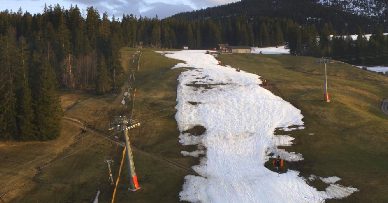
Während man im Flachland im Nebel bei kaum 0 Grad im dicken Wollpullover frieren musste, konnte man in leicht erhöhten Lagen bei stellenweise frühlingshaften 17 Grad gar im T-Shirt nach draussen gehen! Zwar wurden keine neuen Rekorde aufgestellt, dennoch sind diese enormen Temperaturunterschiede nicht von alltäglicher Natur.

Teilweise bis 15 Grad Differenz
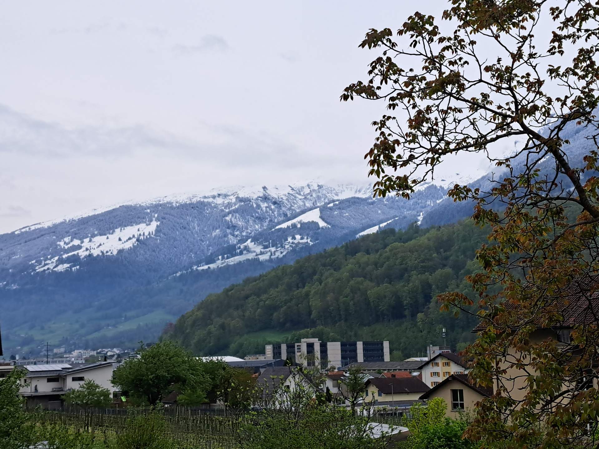
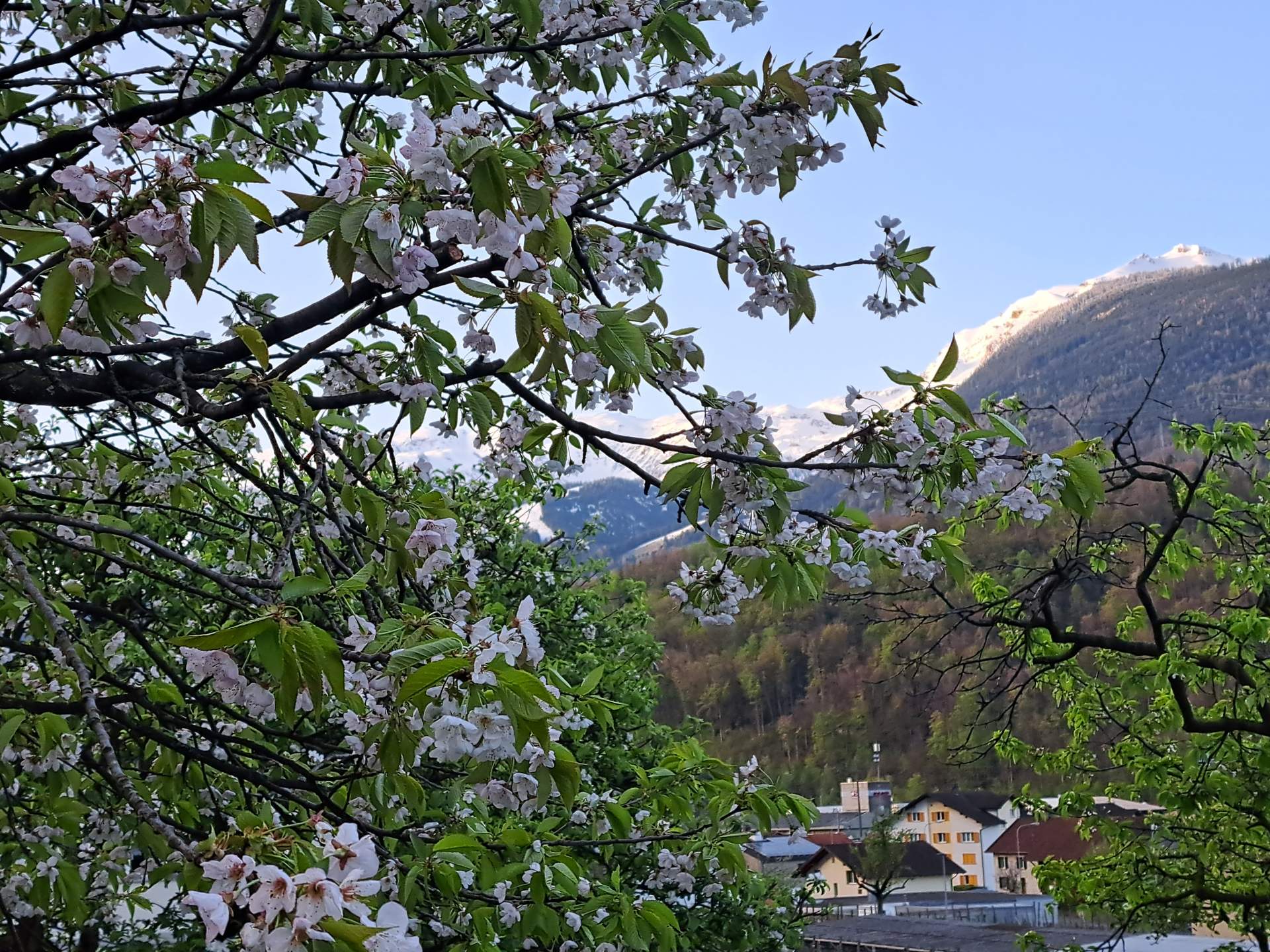
Nach einem frostigen Morgen mit Temperaturen bis -5 Grad im Flachland liess der zähe Nebel die Temperaturen tagsüber nur knapp über den Gefrierpunkt ansteigen. Die Sonne blieb stellenweise ganztags hinter der grauen Suppe verschollen. Ausserhalb des Nebels und ab einer Höhe von rund 600 Metern konnte der Sonne allerdings niemand die Stirn bieten. Dank Hochdruckeinfluss konnte diese von früh bis spät uneingeschränkt die Luft erwärmen und mit Hilfe milder Luftmassen stiegen die Temperaturen in leicht erhöhten Lagen teilweise auf deutlich über 10 Grad an. Spitzenreiter ist mit 17.0 Grad Pleigne im Jura. Im Churer Rheintal stiegen die Temperaturen ebenfalls in den zweistelligen Bereich, dies dank Föhneinfluss. In der Hauptstadt zeigte das Thermometer 13.3 Grad an.
Rekorde wurden zwar keine gebrochen, für Ende Dezember sind Temperaturen in dieser Grössenordnung in erhöhten Lagen dennoch eine aussergewöhnliche Gegebenheit. Mit dem Jahreswechsel stellt sich voraussichtlich ein veränderlicherer Wettercharakter ein. Vor allem in der Höhe gehen auch die Temperaturen deutlich zurück, bereits morgen sinkt die Nullgradgrenze gegen 2000 Meter.
Höchste Temperatur (>600m, Stand 14:58)
| Bergstationen | Höchste Temperatur (in °C) |
|---|---|
| Pleigne (813 m ü.M., JU) | 17.2 |
| Chrüzegg/Atzmännig (1270 m ü.M., SG) | 15.8 |
| La Chaux-de-Fonds (1019 m ü.M., NE) | 14.5 |
| Ravoire (1104 m ü.M., VS) | 14.2 |
| Napf (1406 m ü.M., BE) | 13.8 |
| Vuisternens-devant-Romont (780 m ü.M., FR) | 13.8 |
| Sedrun (1420 m ü.M., GR) | 13.8 |
| Hörnli (1132 m ü.M., ZH) | 13.3 |
| Uetliberg (869 m ü.M., ZH) | 12.9 |
| Adelboden (1353 m ü.M., BE) | 12.8 |
| Crans-Montana (1508 m ü.M., VS) | 12.7 |
| Disentis (1190 m ü.M., GR) | 12.4 |
| Chaumont (1130 m ü.M., NE) | 11.9 |